Istra
Istria, Croatia
Istria is indeed a feast for the eyes. Its streams flow to the sea through deep valleys and gullies which bring to mind the ancient local myths about giants. Rolling hills overlook the fields and valleys with little towns perched on the peaks, recalling some old paintings. The view is splendid: white-topped mountains, lush wheat fields, plateaux, valleys, vineyards and olive groves on hillsides, and, finally the sea.
As you get to know Istria you will notice more and more enchanting details: church facades and portals, tiny village alleyways with their specific architectural touches, the babble of a stream, the blossoming cherries. Everything is warm–hearted and friendly here: nature, towns and people.
Location
The westernmost county of the Republic of Croatia
The largest peninsula of the Adriatic
Area
2,820 km2 (triangle Dragonja, Kamenjak, Učka)
Population
206,344
Language
Croatian
Coast Length
445 km (well-indented coast is twice as long as the road one)
The western coast of Istria is 242.5 km long, with island 327.5 km.
The eastern coast of Istria is 202 km long with the pertaining islets 212 km.
Sea
The lowest sea temperature is in March ranging from 9.3°C up to 11.1°C.
The highest sea temperature is in August when it reaches 23.3°C and 24.1°C.
Salinity amounts approximately to 36-38 pro mille.
Rivers
Mirna, Dragonja and Raša
Vegetation
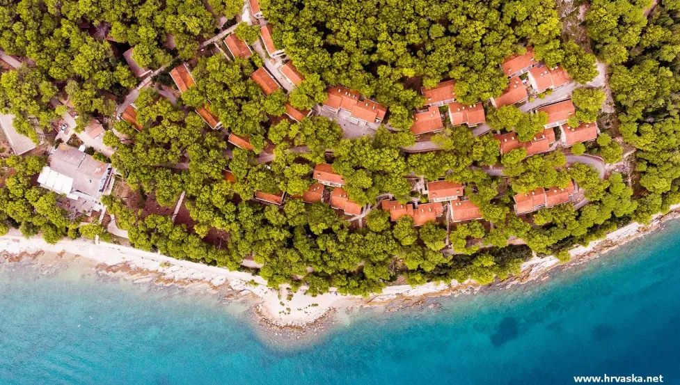
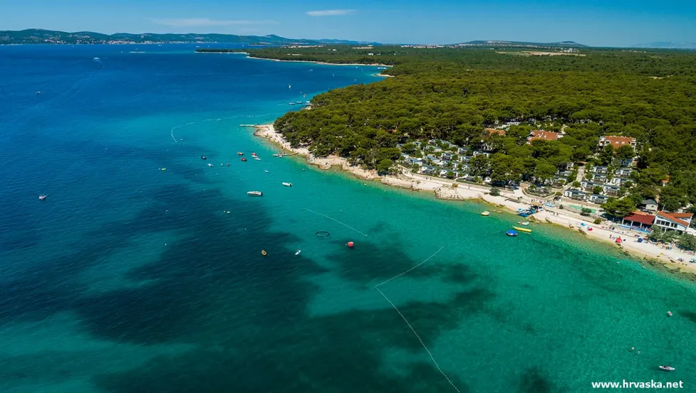
Istria is the largest green oasis of the North Adriatic.
The coast and the islands are covered with pine woods and easily recognizable green macchia.
The main specimens of macchia are holm oak and strawberry trees 35% of Istria is covered with forests.
Administrative Centre
Pazin (9,227 inhabitants)
Economic Centre
Pula-Pola (58,594 inhabitants)


